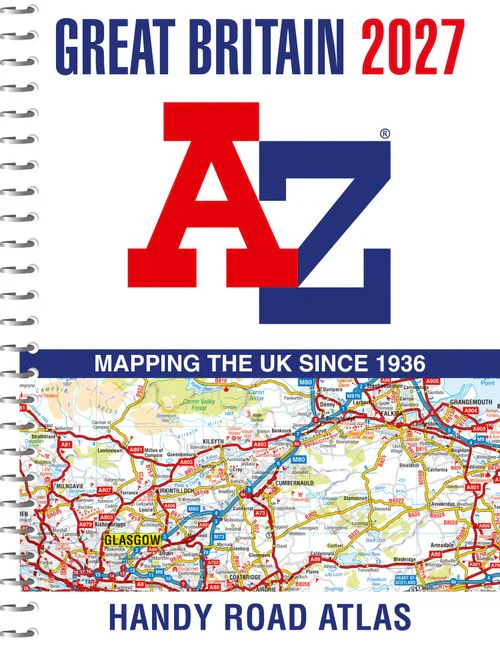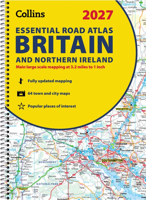
Collins Road Atlas - 2027 Collins Essential Road Atlas Britain and Northern Ireland: A4 Spiral
Collins Road Atlas - 2027 Collins Essential Road Atlas Britain and Northern Ireland: A4 Spiral
Original: $14.99
-70%$14.99
$4.50The Story
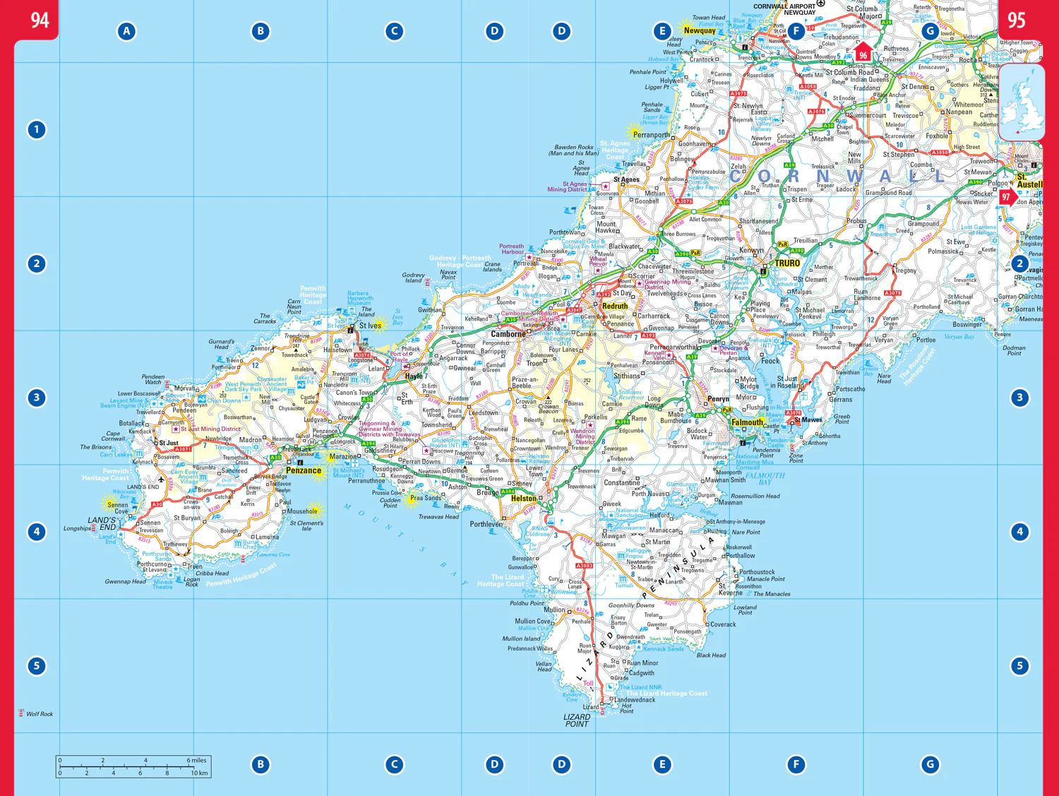
Explore Britain with easy-to-read mapping from Collins.
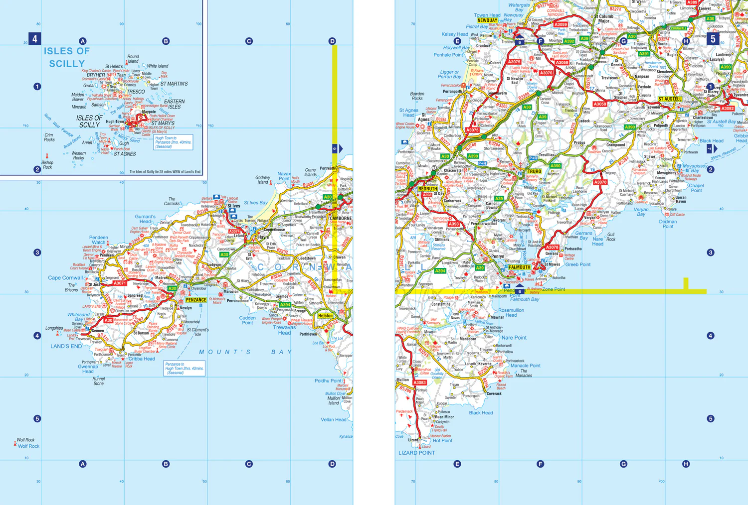
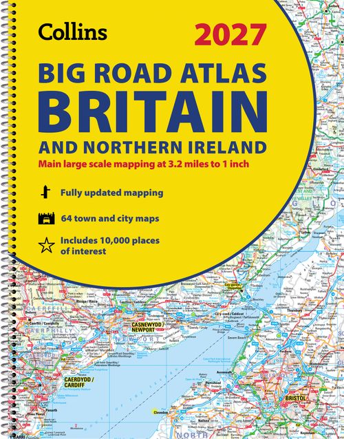
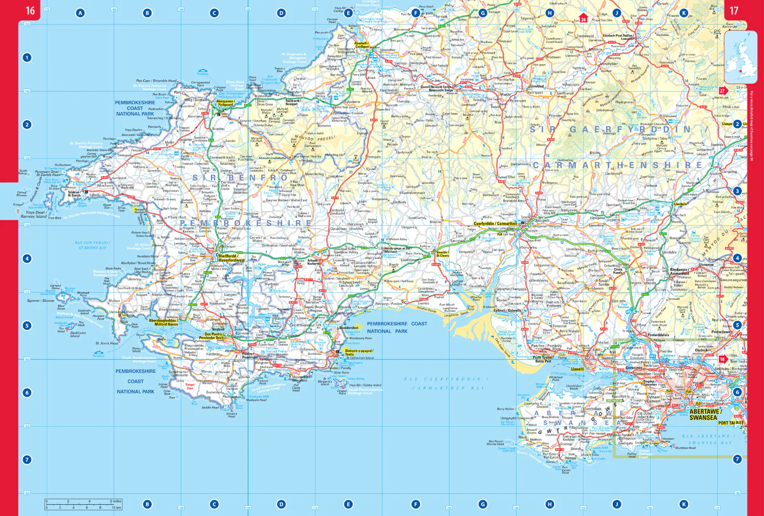
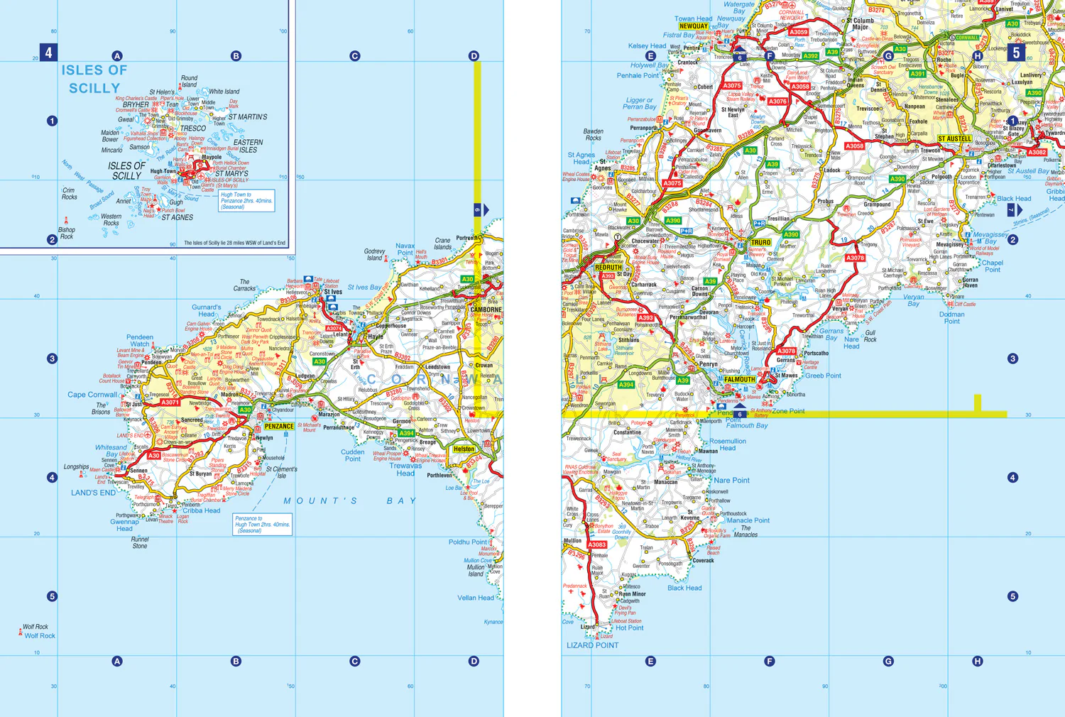
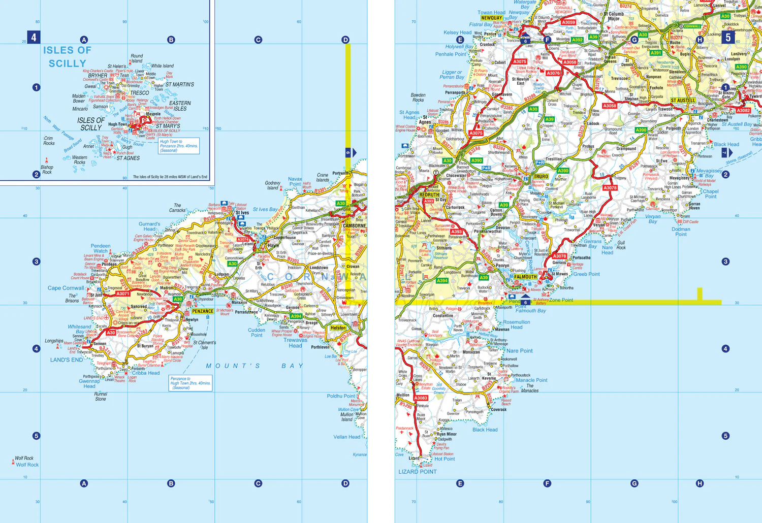
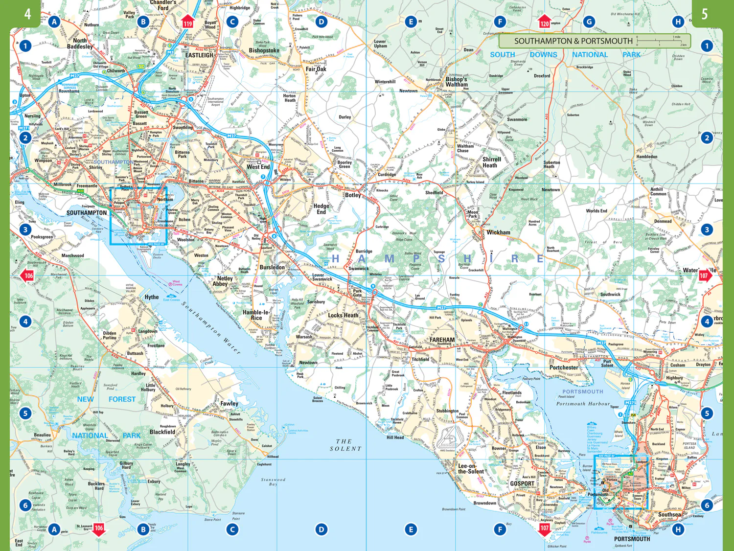
This A4, spiral-bound road atlas provides clear and detailed road mapping for England, Wales and Southern Scotland at a scale of 3.2 miles to 1 inch (1:200,000). For Northern Scotland the mapping is at a scale of 4.2 miles to 1 inch (1:266,000), with land height shown by different layers of colouring.
Main features:
- Route-planning section including maps at a scale of 22 miles to 1 inch, motorway services information, and a handy distance calculator chart
- More than 20 urban approach maps at a larger scale which clearly show the best routes through and into built-up areas
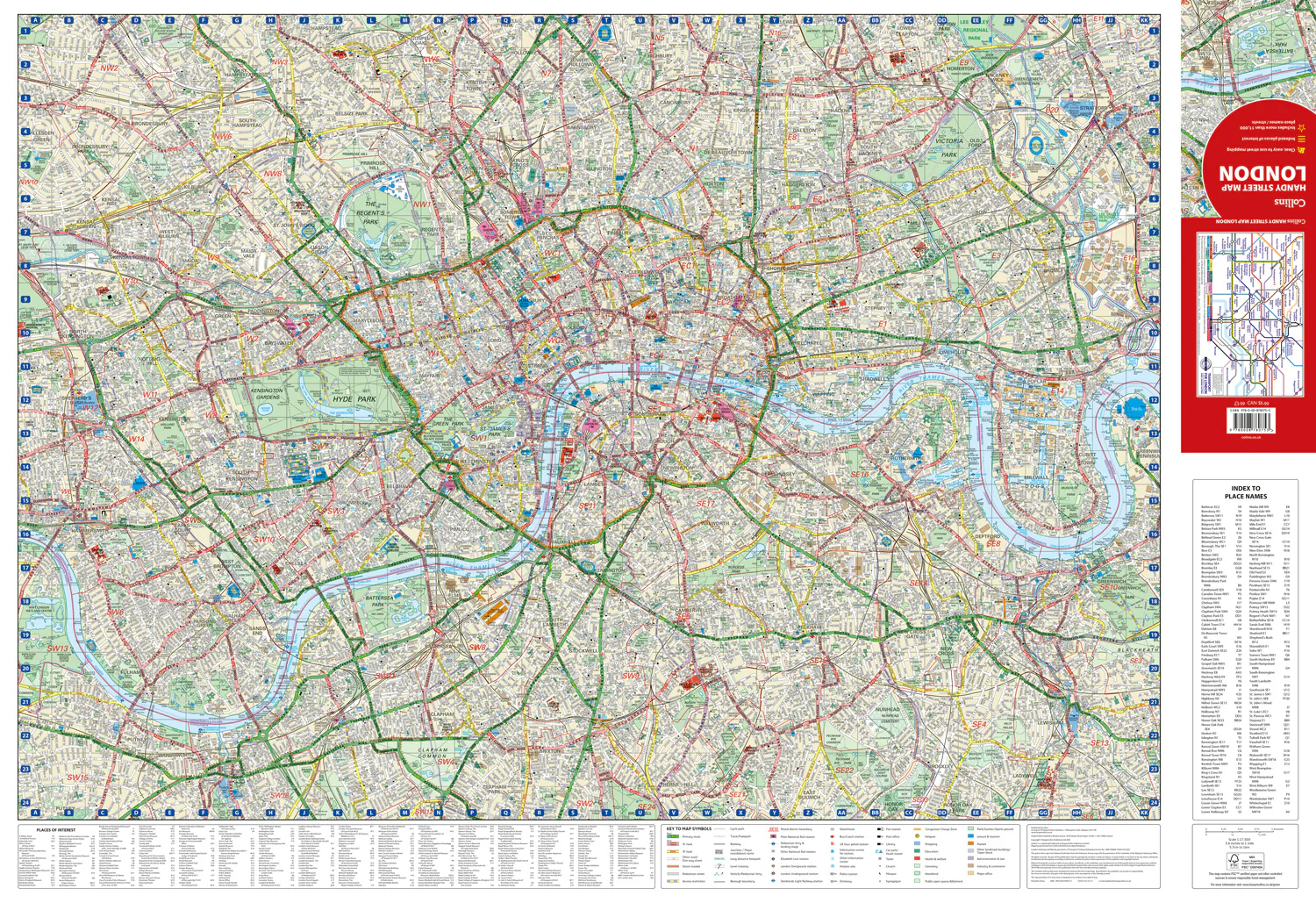
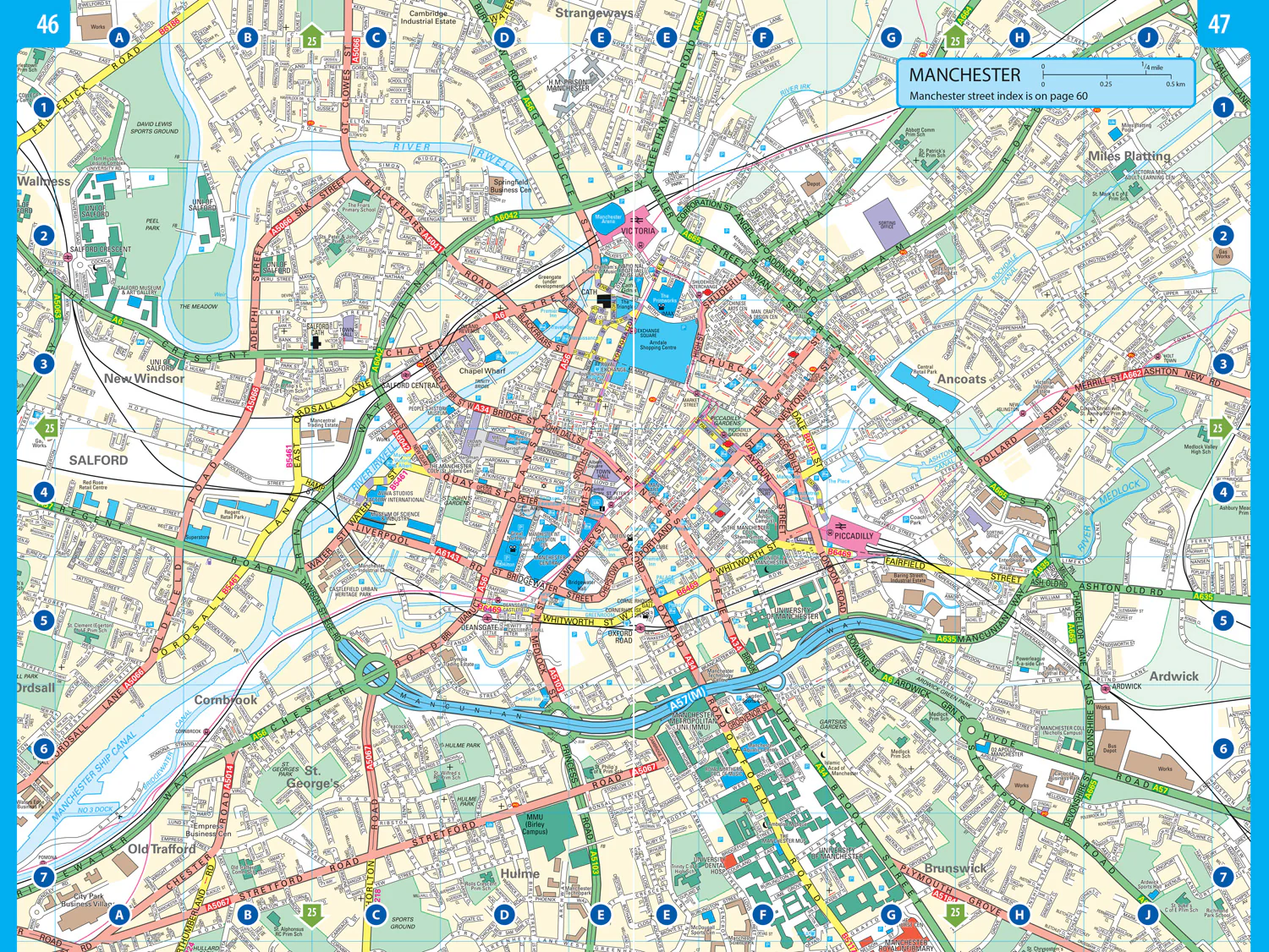
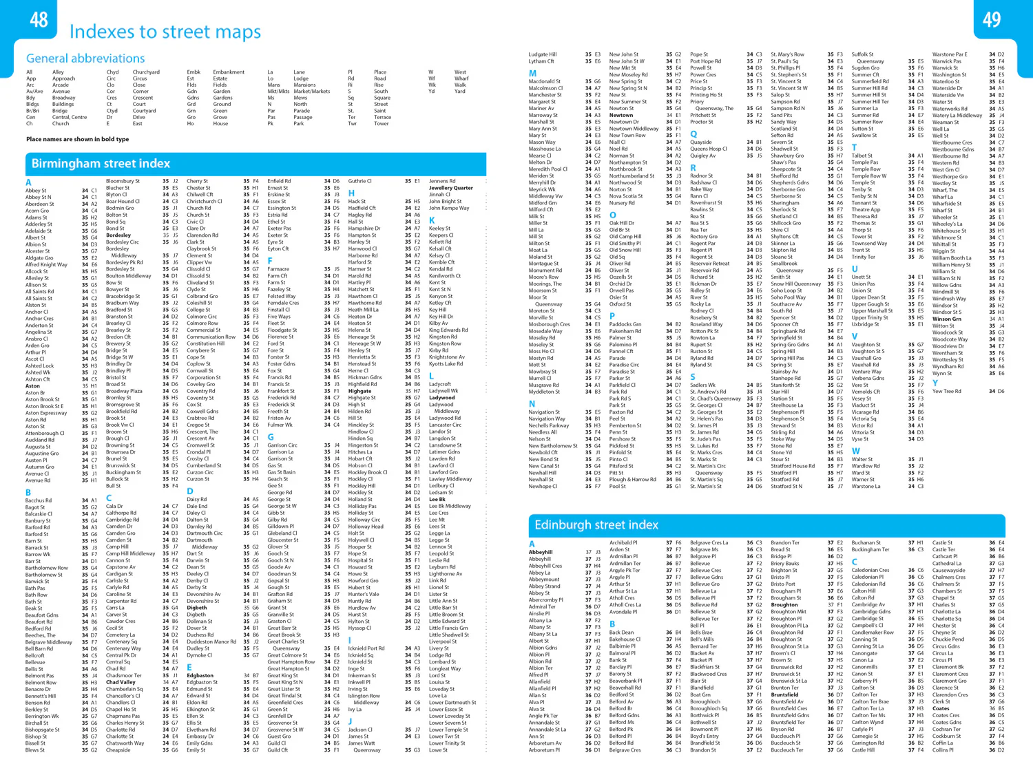
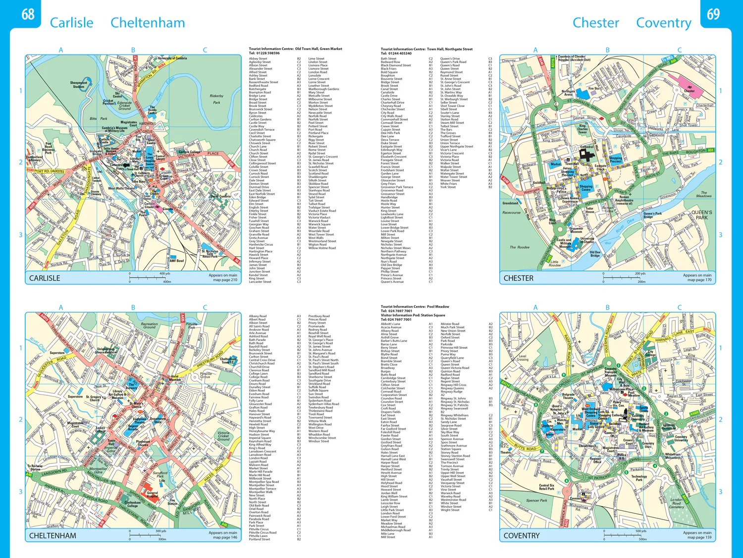
- 64 street maps focused on town centres showing places of interest, car park locations and one-way streets. All the street maps are fully indexed
- Over 30 categories of places of interest including castles, theme parks, sports venues, universities, mountain bike trails and surfing beaches
- The top 1000 most visited places of interest are indexed with full postcodes to aid integration with sat-nav systems
- Updated Park & Ride locations, new rail stations and extensions to tram lines in Blackpool and Edinburgh
- Now includes dual Welsh / English names for Welsh locations, for example, Caerdydd / Cardiff
This is the ideal purchase for drivers, navigators and route planners who want the very best road atlas of Britain in an A4 format.
Details & Craftsmanship
Every detail has been carefully considered to bring you the perfect product.
Details & Craftsmanship
Every detail has been carefully considered to bring you the perfect product.
Details & Craftsmanship
Every detail has been carefully considered to bring you the perfect product.
Details & Craftsmanship
Every detail has been carefully considered to bring you the perfect product.
Details & Craftsmanship
Every detail has been carefully considered to bring you the perfect product.

Details & Craftsmanship
Every detail has been carefully considered to bring you the perfect product.
Description
Explore Britain with easy-to-read mapping from Collins.
This A4, spiral-bound road atlas provides clear and detailed road mapping for England, Wales and Southern Scotland at a scale of 3.2 miles to 1 inch (1:200,000). For Northern Scotland the mapping is at a scale of 4.2 miles to 1 inch (1:266,000), with land height shown by different layers of colouring.
Main features:
- Route-planning section including maps at a scale of 22 miles to 1 inch, motorway services information, and a handy distance calculator chart
- More than 20 urban approach maps at a larger scale which clearly show the best routes through and into built-up areas
- 64 street maps focused on town centres showing places of interest, car park locations and one-way streets. All the street maps are fully indexed
- Over 30 categories of places of interest including castles, theme parks, sports venues, universities, mountain bike trails and surfing beaches
- The top 1000 most visited places of interest are indexed with full postcodes to aid integration with sat-nav systems
- Updated Park & Ride locations, new rail stations and extensions to tram lines in Blackpool and Edinburgh
- Now includes dual Welsh / English names for Welsh locations, for example, Caerdydd / Cardiff
This is the ideal purchase for drivers, navigators and route planners who want the very best road atlas of Britain in an A4 format.